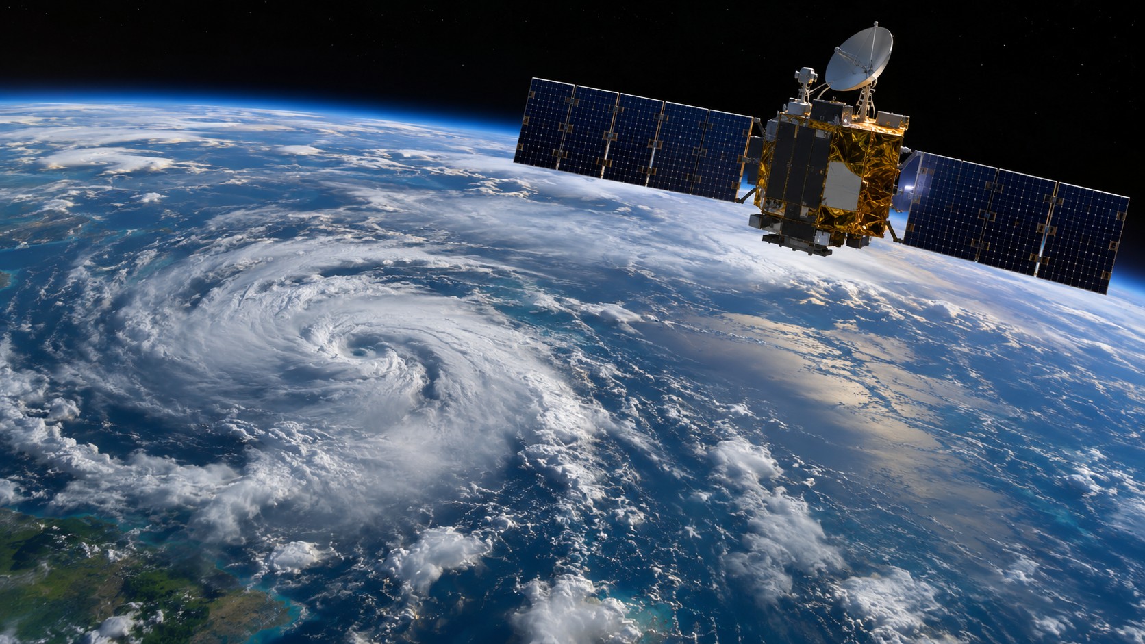
Google DeepMind says it has opened two datasets used in its WeatherNext 3 system: SatWeave, which combines geostationary satellite imagery, and PARDIG, an AI-based global precipitation dataset. The November 13 announcement makes historical archives and live feeds available to researchers and developers.
The distinction matters: SatWeave brings observations together; PARDIG estimates rainfall using an AI model and multiple inputs. Neither should be mistaken for a directly measured, ground-level report at every location.
One picture from many instruments
SatWeave combines imagery from geostationary weather satellites with different projections, sensors and schedules. Google says the resulting global mosaic updates hourly and includes 17 visible, water-vapor and infrared channels. The company says it is releasing a live feed and more than a decade of historical data.
PARDIG uses satellite imagery and atmospheric fields alongside training observations from NASA’s Global Precipitation Measurement Core Observatory. Google describes estimates at approximately 10-kilometer spatial and 15-minute temporal resolution, with average latency around five hours. Its stated historical archive spans 1999 through 2026.
What the data can and cannot establish
Google reports evaluating PARDIG against radar networks and weather stations and says it outperformed selected global baselines. Those are the researchers’ reported results, not an independent assessment by AiBrainWorX. Accuracy will vary by place, storm type, resolution and available observations. A historical estimate or a feed delayed by hours is not a substitute for local warnings or emergency information.
The datasets are available through Google Cloud Storage, with the PARDIG historical catalog also in Google Earth Engine. Researchers should check the source documentation for data coverage, access conditions, update cadence and any storage or processing costs before building a workflow.
Opening the inputs is useful because outside teams can investigate the data behind a weather model and try different applications. Whether a downstream system improves forecasts or flood mapping still requires testing on that system’s intended regions and events. We have not independently evaluated these datasets.
Original reporting. Primary sources reviewed November 14, 2026; no independent hands-on test claimed.